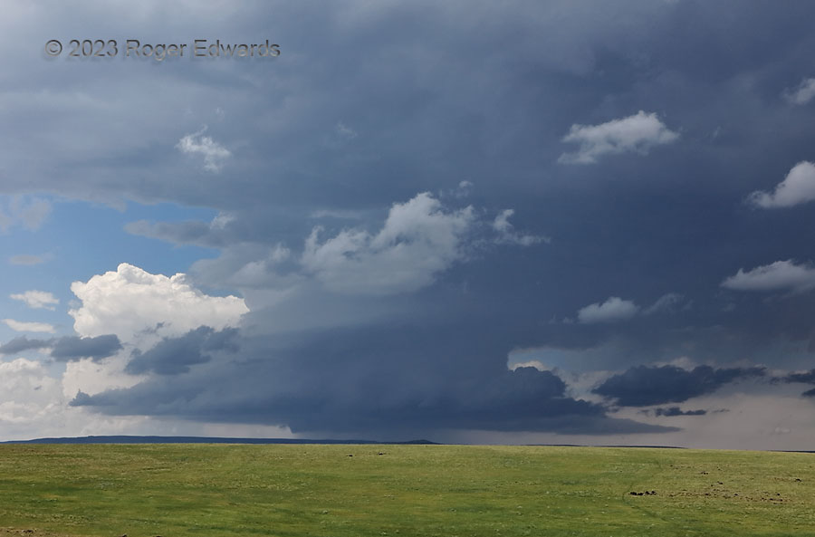
Swirling out of the Sangre de Cristos, past Trinidad, a splendidly structured supercell looms beyond the northwest rim of Johnson Mesa. At 8,000 feet in elevation, this nearly treeless formation represents some of the highest of the original High Plains — a basalt-topped tableland formed when lava filled a former course of the Cimarron River Valley, and the surrounding plains of Ogallala Formation sediments were even higher than this. That adjoining, eastward-sloping “gangplank” of relatively loose gravel, sand and caliche, itself worn off the southern Rockies, has washed away further, leaving the former lava-filled valley as a large, resistant, high mesa a couple thousand feet above volcano-studded prairie that still counts as High Plains.